Rubicon Trail Day Hike
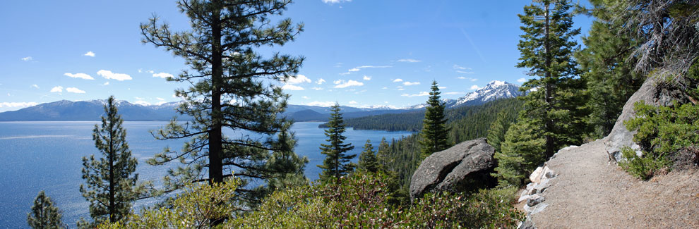
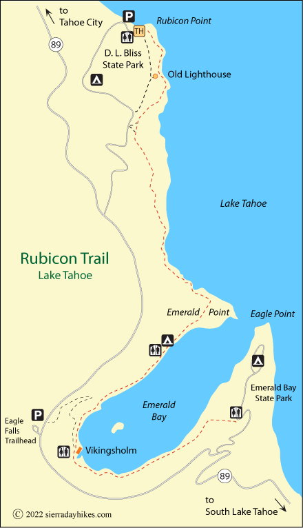
The Rubicon Trail at Lake Tahoe connects D. L. Bliss State Park with Emerald Bay State Park's Eagle Point. The 6½-mile trail contours along the mountainside above the lake, in places dipping close to the shoreline. The trail provides hikers with constantly changing views of the lake, concluding with spectacular Emerald Bay. The hike can be done in sections with trail access at Vikingsholm at Emerald Bay, 4.6 miles south of Bliss State Park.
This foot trail is not to be confused with the popular Rubicon Trail OHV route connecting Tahoe with Loon Lake.
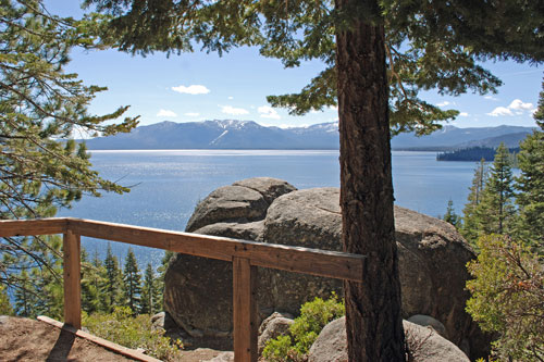
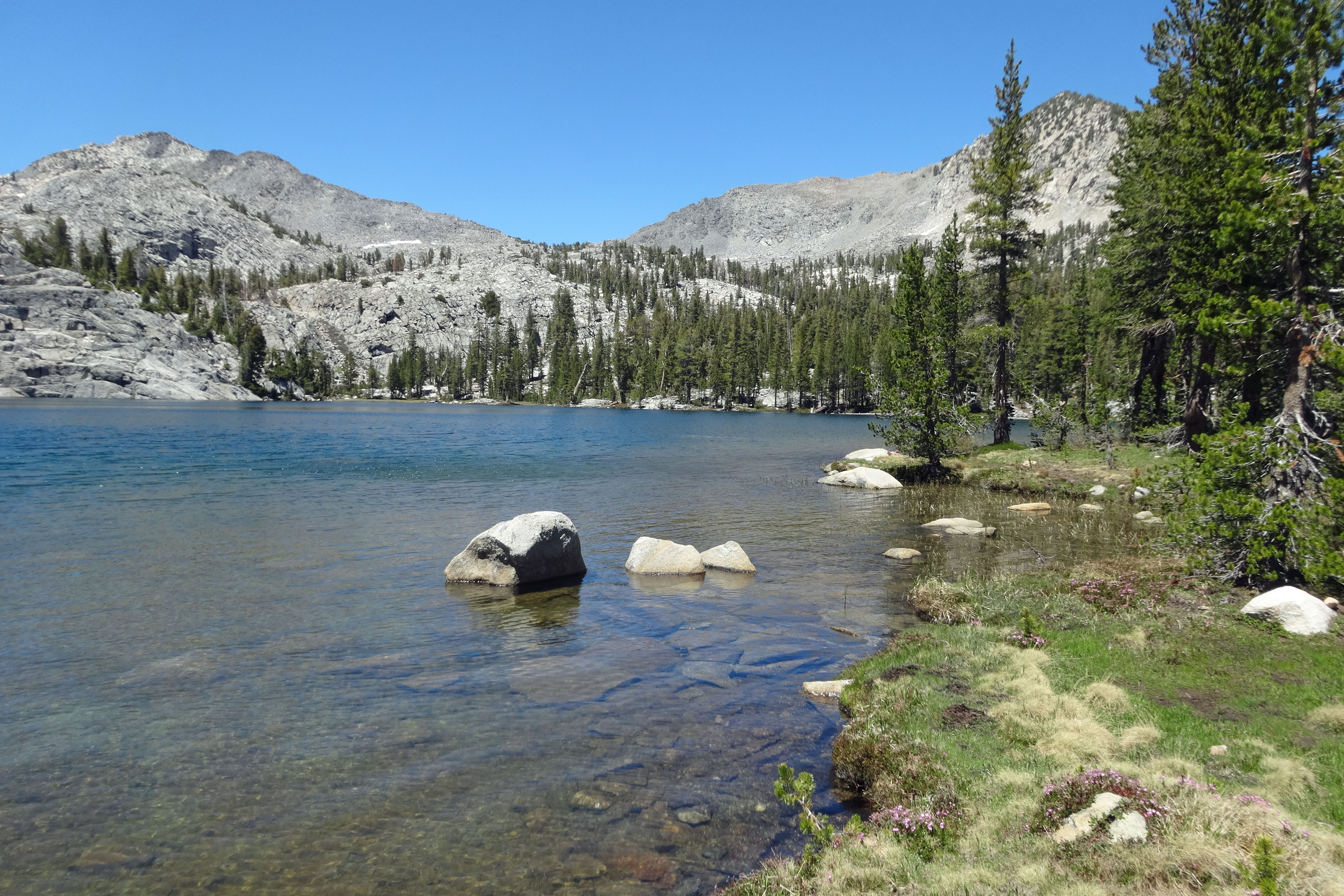
Rubicon Trail Viewpoint
Rubicon Trailhead
The Rubicon Trail is best done from north to south because of the unfolding views along the way. The trailhead is in D. L. Bliss State Park at Calawee Cove Beach at 6,240 feet elevation. There is a $10 entrance fee for the park. Restrooms, parking, and water are available near the trailhead.
Alternative trailhead access is available at Vikingsholm at Emerald Bay and at Emerald Bay State Park's Eagle Point. Both trailheads have restrooms, parking, and water nearby. Parking at Vikingsholm is $10. The fee at Eagle Point is $8.
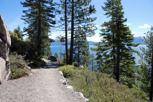
Rubicon Trail
Moderate
13 miles
350 feet
Lake Tahoe
The best views along the trail are achieved by starting at the north end in D. L. Bliss State Park. Most of the uphill comes in the first mile. At Rubicon Point the trail is cut into the cliffs hundreds of feet above the water. A little farther south look for the historic Rubicon Point Lighthouse, a small wooden structure perched on the mountainside.
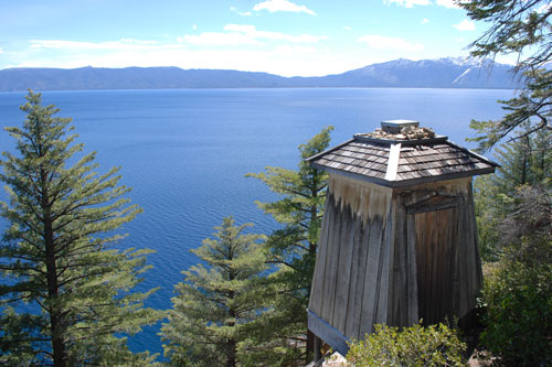
Old Lighthouse
An alternative is to approach the trail from a point a mile back up the park road at a marked trailhead, thus avoiding the steep initial climb. Then hike north to the lighthouse and double back to the south as far as you wish for all the wonderful views of the lake.
Two miles south of Calawee Cove the footpath descends toward the shoreline and stays close to the water for the remainder of the hike. At 3 miles the trail rounds Emerald Point, entering beautiful Emerald Bay. Along the north shore hike past the boat-in campsites, part of Emerald Bay State Park.
At the head of Emerald Bay stands the grand Vikingsholm castle built in 1929 and now open for tours as part of Emerald Bay State Park. Hikers wishing to end their hike at Vikingsholm can take the 1-mile trail up to Highway 89 where hopefully they have arranged to be picked up by a friend. Beyond the castle, hikers cast their eyes upward to 170-foot Lower Eagle Falls, most dramatic in spring and early summer. Finally, another 1½ miles around the bay leads to the end of the trail on Eagle Point.
For more about Lower Eagle Falls and Vikingsholm, see Eagle Falls Day Hike.
Things to Know
- Pets and bicycles are not allowed on any state park trails.
- Even though there is abundant shade, carry plenty of water.
Rubicon Trail
Nearby Sierra Day Hikes
- Cascade Falls - 1-mile hike to 200' falls
- Eagle Falls - hike to upper falls and Eagle Lake
- Mount Tallac - strenuous hike to summit for wonderful views
- Van Sickle Trail - short loops with nice lake views
Other Nearby Trails
From Taylor Creek Visitor Center, take the short Rainbow Trail, which includes the popular Stream Profile Chamber. Also follow the easy Lake of the Sky Trail down to a sandy beach on Lake Tahoe.